
Rumst topographic map
Interactive map
Click on the map to display elevation.
About this map
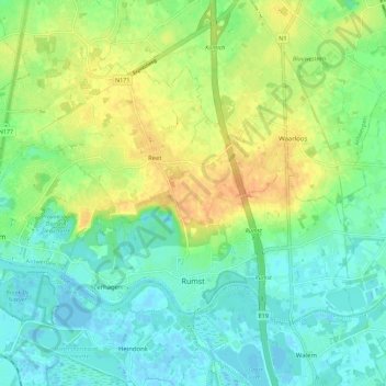
Name: Rumst topographic map, elevation, terrain.
Location: Rumst, Antwerp, Flanders, 2840, Belgium (51.07159 4.35886 51.11908 4.47072)
Average elevation: 43 ft
Minimum elevation: -10 ft
Maximum elevation: 105 ft