
Dromcollogher topographic map
Interactive map
Click on the map to display elevation.
About this map
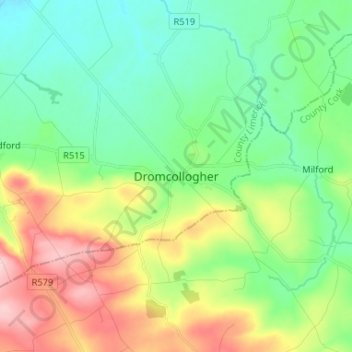
Name: Dromcollogher topographic map, elevation, terrain.
Location: Dromcollogher, County Limerick, Munster, Ireland (52.29929 -8.94881 52.37929 -8.86881)
Average elevation: 446 ft
Minimum elevation: 233 ft
Maximum elevation: 869 ft