
Ardabil topographic map
Interactive map
Click on the map to display elevation.
About this map
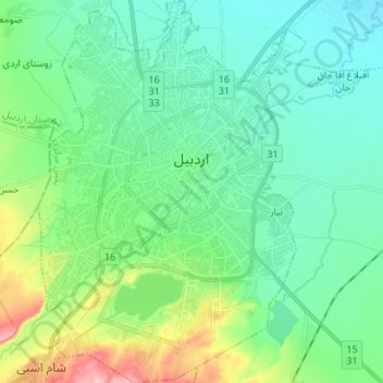
Name: Ardabil topographic map, elevation, terrain.
Location: Ardabil, بخش مرکزی, Ardebil County, Ardabil Province, Iran (38.18891 48.24323 38.29494 48.33427)
Average elevation: 4,455 ft
Minimum elevation: 4,334 ft
Maximum elevation: 4,843 ft