
La Isabela topographic map
Interactive map
Click on the map to display elevation.
About this map
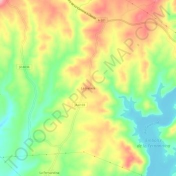
Name: La Isabela topographic map, elevation, terrain.
Location: La Isabela, Jaén, Andalusia, 23200, Spain (38.22105 -3.60006 38.26105 -3.56006)
Average elevation: 1,624 ft
Minimum elevation: 1,417 ft
Maximum elevation: 1,850 ft