
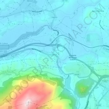
Heras topographic map
Interactive map
Click on the map to display elevation.
About this map
Name: Heras topographic map, elevation, terrain.
Location: Heras, Trasmiera, Cantabria, 39792, España (43.37657 -3.78541 43.41657 -3.74541)
Average elevation: 295 ft
Minimum elevation: -3 ft
Maximum elevation: 1,847 ft