
Batajnica topographic map
Interactive map
Click on the map to display elevation.
About this map
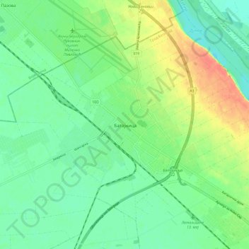
Name: Batajnica topographic map, elevation, terrain.
Location: Batajnica, City of Belgrade, Central Serbia, 11273, Serbia (44.86612 20.23450 44.94612 20.31450)
Average elevation: 269 ft
Minimum elevation: 213 ft
Maximum elevation: 367 ft