
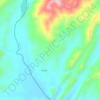
La Meseta topographic map
Interactive map
Click on the map to display elevation.
About this map
Name: La Meseta topographic map, elevation, terrain.
Location: La Meseta, San Luis, Tolima, Colombia (4.02654 -75.21855 4.07168 -75.18088)
Average elevation: 1,677 ft
Minimum elevation: 1,348 ft
Maximum elevation: 2,671 ft