
Takamatsu topographic map
Interactive map
Click on the map to display elevation.
About this map
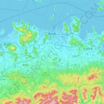
Name: Takamatsu topographic map, elevation, terrain.
Location: Takamatsu, Kagawa Prefecture, Japan (34.11120 133.91347 34.45245 134.20619)
Average elevation: 486 ft
Minimum elevation: -3 ft
Maximum elevation: 3,363 ft