
Sopara Creek topographic map
Interactive map
Click on the map to display elevation.
About this map
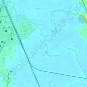
Name: Sopara Creek topographic map, elevation, terrain.
Location: Sopara Creek, Vasai-Virar, Thane, Maharashtra, 401202, India (19.37645 72.83963 19.38197 72.84213)
Average elevation: 10 ft
Minimum elevation: 0 ft
Maximum elevation: 72 ft
Other topographic maps
Click on a map to view its topography, its elevation and its terrain.
Vasai-Virar
India > Maharashtra > Vasai-Virar
Vasai-Virar, Vasai, Palghar, Maharashtra, 401209, India
Average elevation: 108 ft