
Gunung Pulai topographic map
Interactive map
Click on the map to display elevation.
About this map
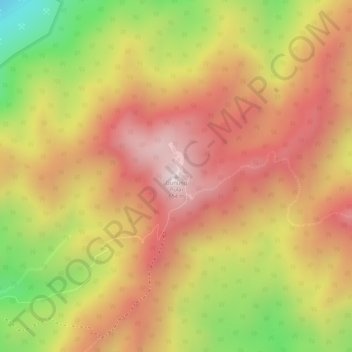
Name: Gunung Pulai topographic map, elevation, terrain.
Location: Gunung Pulai, Kulai, Iskandar Malaysia, Johor, 81000, Malaysia (1.60155 103.54601 1.60165 103.54611)
Average elevation: 1,339 ft
Minimum elevation: 171 ft
Maximum elevation: 2,067 ft