
Bagnoles-de-l'Orne-Normandie topographic map
Interactive map
Click on the map to display elevation.
About this map
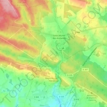
Name: Bagnoles-de-l'Orne-Normandie topographic map, elevation, terrain.
Average elevation: 682 ft
Minimum elevation: 479 ft
Maximum elevation: 945 ft