
福山 topographic map
Interactive map
Click on the map to display elevation.
About this map
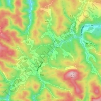
Name: 福山 topographic map, elevation, terrain.
Location: 福山, Mimasaka, Okayama Prefecture, Chugoku Region, Japan (34.93897 134.18733 34.97897 134.22733)
Average elevation: 1,007 ft
Minimum elevation: 604 ft
Maximum elevation: 1,414 ft