
Port Sudan topographic map
Interactive map
Click on the map to display elevation.
About this map
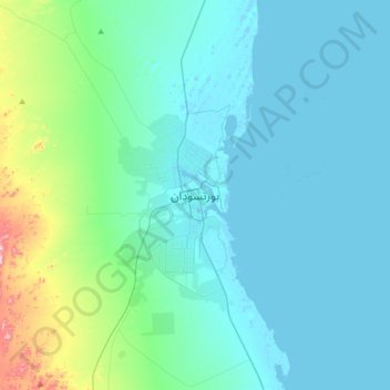
Name: Port Sudan topographic map, elevation, terrain.
Location: Port Sudan, Red Sea State, 79800, Sudan (19.45922 37.05171 19.77922 37.37171)
Average elevation: 164 ft
Minimum elevation: -26 ft
Maximum elevation: 1,230 ft