
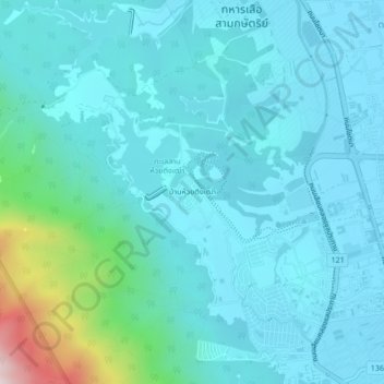
Ban Huai Tueng Thao topographic map
Interactive map
Click on the map to display elevation.
About this map
Name: Ban Huai Tueng Thao topographic map, elevation, terrain.
Location: Ban Huai Tueng Thao, Chiang Mai Province, Thailand (18.84328 98.92639 18.88328 98.96639)
Average elevation: 1,335 ft
Minimum elevation: 1,040 ft
Maximum elevation: 3,199 ft