
Parakkadavu topographic map
Interactive map
Click on the map to display elevation.
About this map
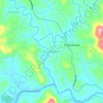
Name: Parakkadavu topographic map, elevation, terrain.
Location: Parakkadavu, Kannur district, Kerala, India (12.03974 75.55426 12.07974 75.59426)
Average elevation: 138 ft
Minimum elevation: 20 ft
Maximum elevation: 558 ft