
Idaho Springs topographic map
Interactive map
Click on the map to display elevation.
About this map
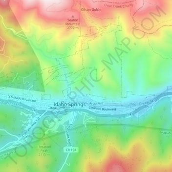
Name: Idaho Springs topographic map, elevation, terrain.
Location: Idaho Springs, Clear Creek County, Colorado, 80452, USA (39.73369 -105.53434 39.75879 -105.48933)
Average elevation: 8,189 ft
Minimum elevation: 7,457 ft
Maximum elevation: 9,337 ft