
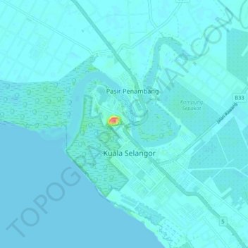
Kuala Selangor topographic map
Interactive map
Click on the map to display elevation.
About this map
Name: Kuala Selangor topographic map, elevation, terrain.
Location: Kuala Selangor, Selangor, 45000, Malaysia (3.30069 101.20957 3.38069 101.28957)
Average elevation: 10 ft
Minimum elevation: -3 ft
Maximum elevation: 164 ft