
Salento topographic map
Interactive map
Click on the map to display elevation.
About this map
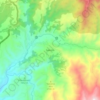
Name: Salento topographic map, elevation, terrain.
Location: Salento, Quindío, 631020, Colombia (4.59730 -75.60980 4.67730 -75.52980)
Average elevation: 6,667 ft
Minimum elevation: 5,299 ft
Maximum elevation: 9,281 ft