
Nanango topographic map
Interactive map
Click on the map to display elevation.
About this map
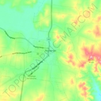
Name: Nanango topographic map, elevation, terrain.
Location: Nanango, Queensland, Australia (-26.71261 151.96297 -26.63261 152.04297)
Average elevation: 1,253 ft
Minimum elevation: 1,020 ft
Maximum elevation: 1,640 ft