
Lozoyuela topographic map
Interactive map
Click on the map to display elevation.
About this map
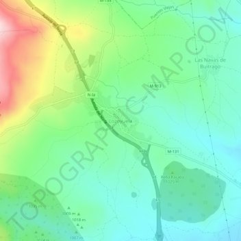
Name: Lozoyuela topographic map, elevation, terrain.
Location: Lozoyuela, Sierra Norte, Comunidad de Madrid, 28752, España (40.90634 -3.63764 40.94634 -3.59764)
Average elevation: 3,363 ft
Minimum elevation: 3,084 ft
Maximum elevation: 4,026 ft