
Fukuoka topographic map
Interactive map
Click on the map to display elevation.
About this map
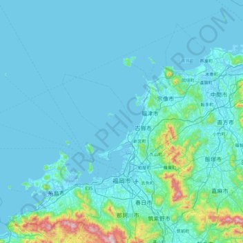
Name: Fukuoka topographic map, elevation, terrain.
Location: Fukuoka, Préfecture de Fukuoka, Japon (33.42496 129.87164 34.06269 130.49490)
Average elevation: 233 ft
Minimum elevation: -16 ft
Maximum elevation: 3,274 ft