
Hoosier topographic map
Interactive map
Click on the map to display elevation.
About this map
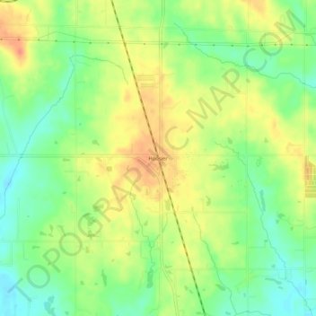
Name: Hoosier topographic map, elevation, terrain.
Location: Hoosier, Greene County, Indiana, 47441, USA (39.04671 -87.20585 39.08671 -87.16585)
Average elevation: 574 ft
Minimum elevation: 495 ft
Maximum elevation: 653 ft