
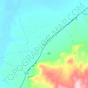
Hacılar topographic map
Interactive map
Click on the map to display elevation.
About this map
Name: Hacılar topographic map, elevation, terrain.
Location: Hacılar, Burdur (merkez), Burdur, Mediterranean Region, Turkey (37.56523 30.07604 37.60523 30.11604)
Average elevation: 3,156 ft
Minimum elevation: 2,894 ft
Maximum elevation: 4,019 ft