
La Luette topographic map
Interactive map
Click on the map to display elevation.
About this map
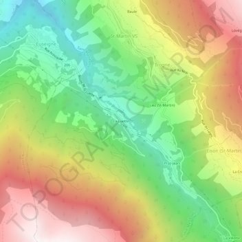
Name: La Luette topographic map, elevation, terrain.
Location: La Luette, Hérens, Vallese, 2305, Svizzera (46.13928 7.42149 46.17928 7.46149)
Average elevation: 4,888 ft
Minimum elevation: 2,372 ft
Maximum elevation: 7,897 ft