
Heron Lake topographic map
Interactive map
Click on the map to display elevation.
About this map
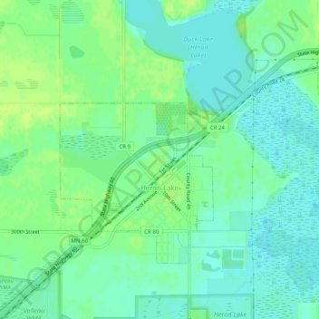
Name: Heron Lake topographic map, elevation, terrain.
Location: Heron Lake, Jackson County, Minnesota, 56137, USA (43.78640 -95.33580 43.80980 -95.28599)
Average elevation: 1,417 ft
Minimum elevation: 1,394 ft
Maximum elevation: 1,437 ft