
Tuskahoma topographic map
Interactive map
Click on the map to display elevation.
About this map
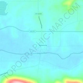
Name: Tuskahoma topographic map, elevation, terrain.
Location: Tuskahoma, Pushmataha County, Oklahoma, USA (34.59788 -95.29663 34.63788 -95.25663)
Average elevation: 623 ft
Minimum elevation: 541 ft
Maximum elevation: 1,243 ft