
Manikowski Prairie State Preserve topographic map
Interactive map
Click on the map to display elevation.
About this map
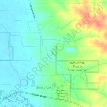
Name: Manikowski Prairie State Preserve topographic map, elevation, terrain.
Average elevation: 715 ft
Minimum elevation: 650 ft
Maximum elevation: 850 ft