
Plains topographic map
Interactive map
Click on the map to display elevation.
About this map
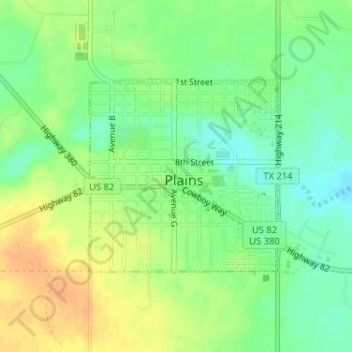
Name: Plains topographic map, elevation, terrain.
Location: Plains, Yoakum County, Texas, United States (33.18227 -102.83603 33.19689 -102.81863)
Average elevation: 3,652 ft
Minimum elevation: 3,596 ft
Maximum elevation: 3,707 ft