
Nationalpark Hohe Tauern topographic map
Interactive map
Click on the map to display elevation.
About this map
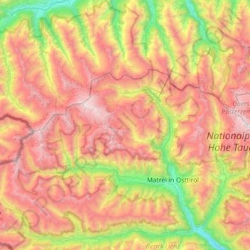
Name: Nationalpark Hohe Tauern topographic map, elevation, terrain.
Average elevation: 6,972 ft
Minimum elevation: 2,451 ft
Maximum elevation: 12,083 ft
Other topographic maps
Click on a map to view its topography, its elevation and its terrain.
Muntanitz
Österreich > Tirol > Matrei in Osttirol
Muntanitz, Matrei in Osttirol, Lienz, Tirol, Österreich
Average elevation: 9,003 ft