
La Yahoué topographic map
Interactive map
Click on the map to display elevation.
About this map
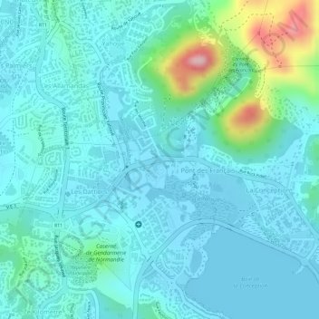
Name: La Yahoué topographic map, elevation, terrain.
Average elevation: 121 ft
Minimum elevation: -13 ft
Maximum elevation: 676 ft
Other topographic maps
Click on a map to view its topography, its elevation and its terrain.
Mont-Dore
France > Nouvelle-Calédonie > Mont Dore
Mont-Dore, Mont Dore, Province Sud, Nouvelle-Calédonie, 98810, France
Average elevation: 1,175 ft
Île Ouen
France > Nouvelle-Calédonie > Mont Dore
Île Ouen, Mont Dore, Province Sud, Nouvelle-Calédonie, France
Average elevation: 151 ft