
Taiping Ling topographic map
Interactive map
Click on the map to display elevation.
About this map
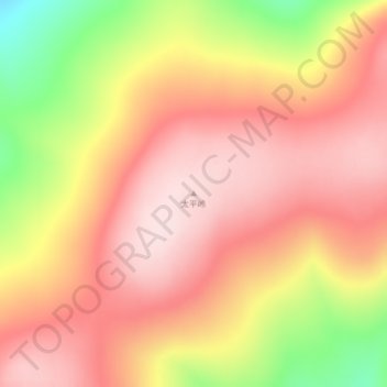
Name: Taiping Ling topographic map, elevation, terrain.
Average elevation: 4,957 ft
Minimum elevation: 4,275 ft
Maximum elevation: 5,331 ft
Other topographic maps
Click on a map to view its topography, its elevation and its terrain.
Xilinhot
PRC > Inner Mongolia > Xilinhot
Xilinhot, Xilinhot City, Xilingol League, Inner Mongolia, PRC
Average elevation: 3,501 ft
Jungar Banner
Jungar Banner, Ordos City, Inner Mongolia, PRC
Average elevation: 3,862 ft
敖包疙瘩
PRC > Inner Mongolia > Alxa Left Banner
敖包疙瘩, Alxa Left Banner, Alxa League, Inner Mongolia, PRC
Average elevation: 10,348 ft
Greater Khingan Mountain Range
Greater Khingan Mountain Range, Zalantun City, Hulunbuir, Inner Mongolia, PRC
Average elevation: 4,967 ft