
黒戸山 topographic map
Interactive map
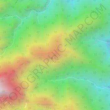
Click on the map to display elevation.
About this map
Name: 黒戸山 topographic map, elevation, terrain.
Location: 黒戸山, Hokuto, Yamanashi Prefecture, Chubu Region, Japan (35.76914 138.26142 35.76924 138.26152)
Average elevation: 6,010 ft
Minimum elevation: 4,291 ft
Maximum elevation: 8,665 ft