
Linstead topographic map
Interactive map
Click on the map to display elevation.
About this map
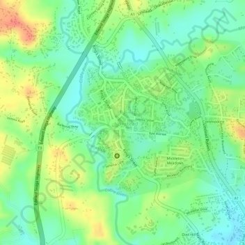
Name: Linstead topographic map, elevation, terrain.
Location: Linstead, Saint Catherine, Middlesex County, Jamaica (18.12822 -77.03646 18.14523 -77.01379)
Average elevation: 381 ft
Minimum elevation: 305 ft
Maximum elevation: 479 ft