
Sangvi topographic map
Interactive map
Click on the map to display elevation.
About this map
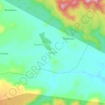
Name: Sangvi topographic map, elevation, terrain.
Location: Sangvi, Adilabad, Telangana, India (19.51841 78.87216 19.55841 78.91216)
Average elevation: 1,217 ft
Minimum elevation: 988 ft
Maximum elevation: 1,795 ft