
Santo Antão topographic map
Interactive map
Click on the map to display elevation.
About this map
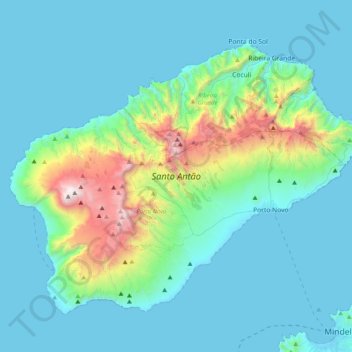
Name: Santo Antão topographic map, elevation, terrain.
Location: Santo Antão, Porto Novo, 1310, Cape Verde (16.90573 -25.36095 17.20531 -24.96302)
Average elevation: 938 ft
Minimum elevation: -3 ft
Maximum elevation: 6,470 ft
Other topographic maps
Click on a map to view its topography, its elevation and its terrain.