
La Caja topographic map
Interactive map
Click on the map to display elevation.
About this map
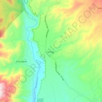
Name: La Caja topographic map, elevation, terrain.
Location: La Caja, Comala, Colima, 28452, México (19.33143 -103.83871 19.41143 -103.75871)
Average elevation: 2,395 ft
Minimum elevation: 1,493 ft
Maximum elevation: 4,137 ft