
Basri topographic map
Interactive map
Click on the map to display elevation.
About this map
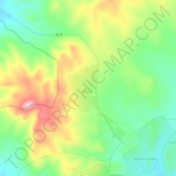
Name: Basri topographic map, elevation, terrain.
Location: Basri, Polatlı, Ankara, Central Anatolia Region, Turkey (39.58944 32.10363 39.62944 32.14363)
Average elevation: 3,176 ft
Minimum elevation: 2,864 ft
Maximum elevation: 3,625 ft