
Útila topographic map
Interactive map
Click on the map to display elevation.
About this map
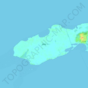
Name: Útila topographic map, elevation, terrain.
Location: Útila, Coxen Hole, Bay Islands, THE BAY ISLANDS, Honduras (16.06920 -86.99000 16.12389 -86.87222)
Average elevation: 3 ft
Minimum elevation: -3 ft
Maximum elevation: 102 ft
Other topographic maps
Click on a map to view its topography, its elevation and its terrain.
Roatán
Honduras > Bay Islands > Coxen Hole
Roatán, Coxen Hole, Roatan, Bay Islands, 33166, Honduras
Average elevation: 10 ft