
NC Wildlife Resources Commission - Lake Rim topographic map
Interactive map
Click on the map to display elevation.
About this map
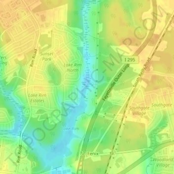
Name: NC Wildlife Resources Commission - Lake Rim topographic map, elevation, terrain.
Average elevation: 210 ft
Minimum elevation: 151 ft
Maximum elevation: 249 ft
Other topographic maps
Click on a map to view its topography, its elevation and its terrain.
J. Bayard Clark Park & Nature Center
USA > North Carolina > Fayetteville
J. Bayard Clark Park & Nature Center, Fayetteville, Cumberland County, North Carolina, USA
Average elevation: 125 ft