
Jinhua topographic map
Interactive map
Click on the map to display elevation.
About this map
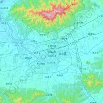
Name: Jinhua topographic map, elevation, terrain.
Location: Jinhua, Wucheng District, Jinhua, Zhejiang, 321000, China (28.94803 119.48865 29.26803 119.80865)
Average elevation: 505 ft
Minimum elevation: 62 ft
Maximum elevation: 4,239 ft
Other topographic maps
Click on a map to view its topography, its elevation and its terrain.