
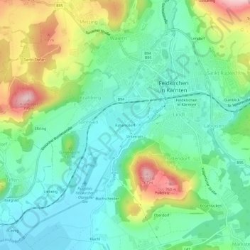
Rabensdorf topographic map
Interactive map
Click on the map to display elevation.
About this map
Name: Rabensdorf topographic map, elevation, terrain.
Location: Rabensdorf, Feldkirchen, Kärnten, 9560, Österreich (46.69672 14.06516 46.73672 14.10516)
Average elevation: 1,939 ft
Minimum elevation: 1,670 ft
Maximum elevation: 2,539 ft