
Thiès topographic map
Interactive map
Click on the map to display elevation.
About this map
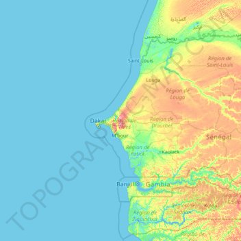
Name: Thiès topographic map, elevation, terrain.
Location: Thiès, Thiès Region, Senegal (12.23481 -19.51293 17.35481 -14.39293)
Average elevation: 46 ft
Minimum elevation: -10 ft
Maximum elevation: 449 ft