
Osterode topographic map
Interactive map
Click on the map to display elevation.
About this map
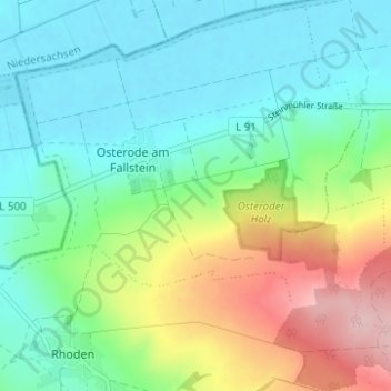
Name: Osterode topographic map, elevation, terrain.
Location: Osterode, Osterwieck, Landkreis Harz, Saksen-Anhalt, Duitsland (52.01055 10.64797 52.04883 10.71011)
Average elevation: 463 ft
Minimum elevation: 272 ft
Maximum elevation: 912 ft