
Hammond Castle Museum topographic map
Interactive map
Click on the map to display elevation.
About this map
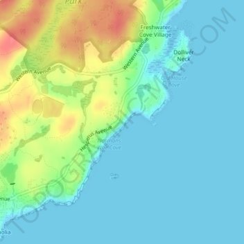
Name: Hammond Castle Museum topographic map, elevation, terrain.
Average elevation: 56 ft
Minimum elevation: -3 ft
Maximum elevation: 203 ft
Other topographic maps
Click on a map to view its topography, its elevation and its terrain.
Mount Ann Park
USA > Massachusetts > Gloucester
Mount Ann Park, Gloucester, Essex County, Massachusetts, USA
Average elevation: 118 ft