
Ferry Road topographic map
Interactive map
Click on the map to display elevation.
About this map
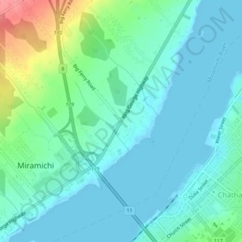
Name: Ferry Road topographic map, elevation, terrain.
Average elevation: 59 ft
Minimum elevation: -10 ft
Maximum elevation: 272 ft
Other topographic maps
Click on a map to view its topography, its elevation and its terrain.
Miramichi
Canada > Nouveau-Brunswick > Miramichi
Miramichi, Ville de Miramichi, Comté de Northumberland, Nouveau-Brunswick, Canada
Average elevation: 151 ft