
Presa Álvaro Obregón topographic map
Interactive map
Click on the map to display elevation.
About this map
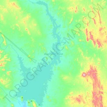
Name: Presa Álvaro Obregón topographic map, elevation, terrain.
Location: Presa Álvaro Obregón, Cajeme, Sonora, México (27.80528 -109.92958 28.09326 -109.76778)
Average elevation: 623 ft
Minimum elevation: 151 ft
Maximum elevation: 2,264 ft