
Laurel Hill topographic map
Interactive map
Click on the map to display elevation.
About this map
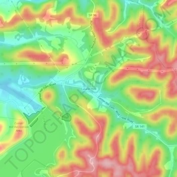
Name: Laurel Hill topographic map, elevation, terrain.
Location: Laurel Hill, DeKalb County, Tennessee, USA (36.08284 -85.83304 36.12284 -85.79304)
Average elevation: 735 ft
Minimum elevation: 472 ft
Maximum elevation: 1,030 ft