
Tielenhemme topographic map
Interactive map
Click on the map to display elevation.
About this map
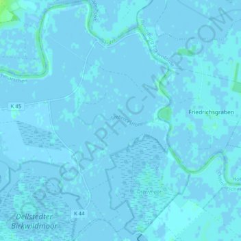
Name: Tielenhemme topographic map, elevation, terrain.
Location: Tielenhemme, Eider, Dithmarschen, Schleswig-Holstein, Germany (54.24759 9.33800 54.29413 9.40447)
Average elevation: 3 ft
Minimum elevation: -13 ft
Maximum elevation: 39 ft
Other topographic maps
Click on a map to view its topography, its elevation and its terrain.
Dellstedt
Germany > Schleswig-Holstein > Dithmarschen
Dellstedt, Eider, Dithmarschen, Schleswig-Holstein, 25786, Germany
Average elevation: 20 ft