
Flat Rock topographic map
Interactive map
Click on the map to display elevation.
About this map
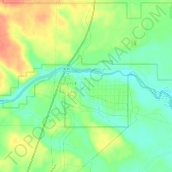
Name: Flat Rock topographic map, elevation, terrain.
Location: Flat Rock, Fremont County, Idaho, 83249, USA (44.47719 -111.34974 44.51719 -111.30974)
Average elevation: 6,427 ft
Minimum elevation: 6,358 ft
Maximum elevation: 6,516 ft