
Alturas topographic map
Interactive map
Click on the map to display elevation.
About this map
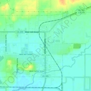
Name: Alturas topographic map, elevation, terrain.
Average elevation: 4,386 ft
Minimum elevation: 4,354 ft
Maximum elevation: 4,455 ft
Alturas is located on the Pit River, east of the center of Modoc County, at an elevation of 4370 feet (1332 m). As the county seat, the town is a home to regional government offices, including a California Highway Patrol office and a state Department of Motor Vehicles office.